


1:50,000 Scale Topographic Map
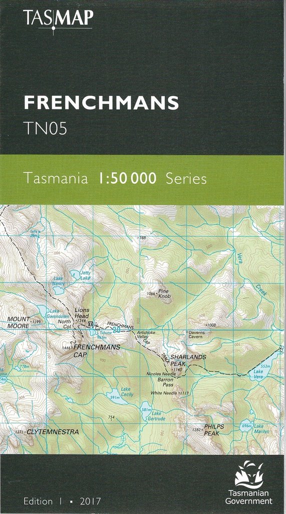
Frenchmans TNo5 – Tasmap
The summit is a magnificent white quartzite dome and is the most prominent peak in the Franklin-Gordon Wild Rivers National Park. The 46km return walk is considerably more arduous than many other Tasmanian walks, passing through buttongrass plains, rainforest and spectacular glacial valleys to Lake Tahune, perched under the spectacular cliff face.
Flowing 125 kms from its headwaters in the Cheyne Range to the Gordon River, the Franklin River is Tasmania’s most iconic wild river, renowned for its breathtaking scenery, energy and tranquility – experienced by rafting and kayaking enthusiasts.
To the west is the Darwin Crater, believed to have formed over 800 000 years ago from a meteorite impact. The remnants of the once bustling port township of Pillinger at Kelly Basin are found at the termination of the former railway formation.
This map also covers:
Kelly 3432 1:25,000 Scale Tasmap series.
Loddon 4032 1:25,000 Scale Tasmap series.
(BLURB COURTESY OF TASMAP)
Reviews
There are no reviews yet.