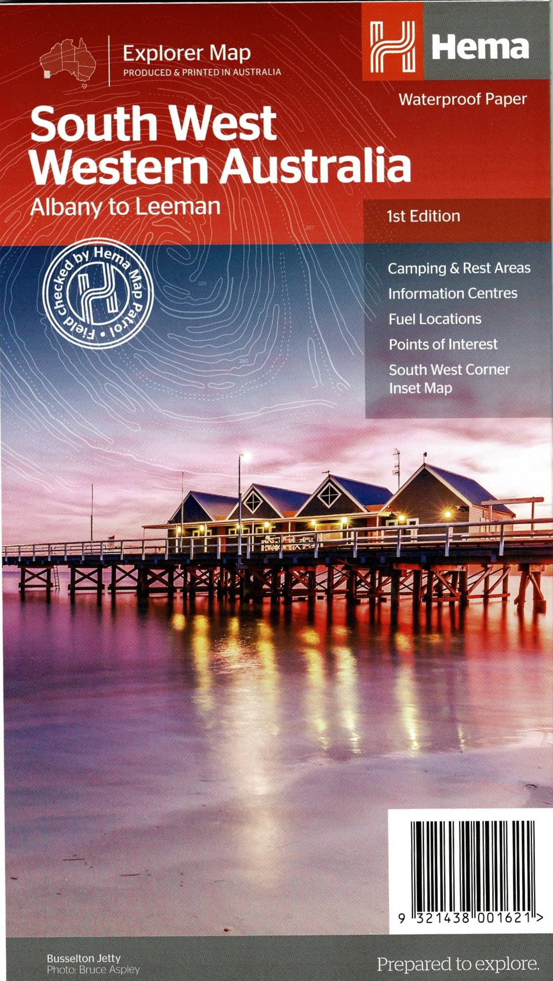


South West Western Australia Hema Maps
Regional Touring Map. 1:700,000 Scale
Coverage from Eneabba in the north to Albany. Inland to Merredin. Inset maps of Nambung, Avon Valley, Stirling Range, Lane Poole, South West Corner, D’Entrecasteaux.
Tourist information. National Parks, Camping, wineries, Caravan Parks etc.
Reviews
There are no reviews yet.