


Coffs Harbour to Brisbane
North East New South Wales Map Hema: Coverage extends along the coast from Urunga to Brisbane and inland to Toowoomba, Glen Innes, Tenterfield and Armidale.
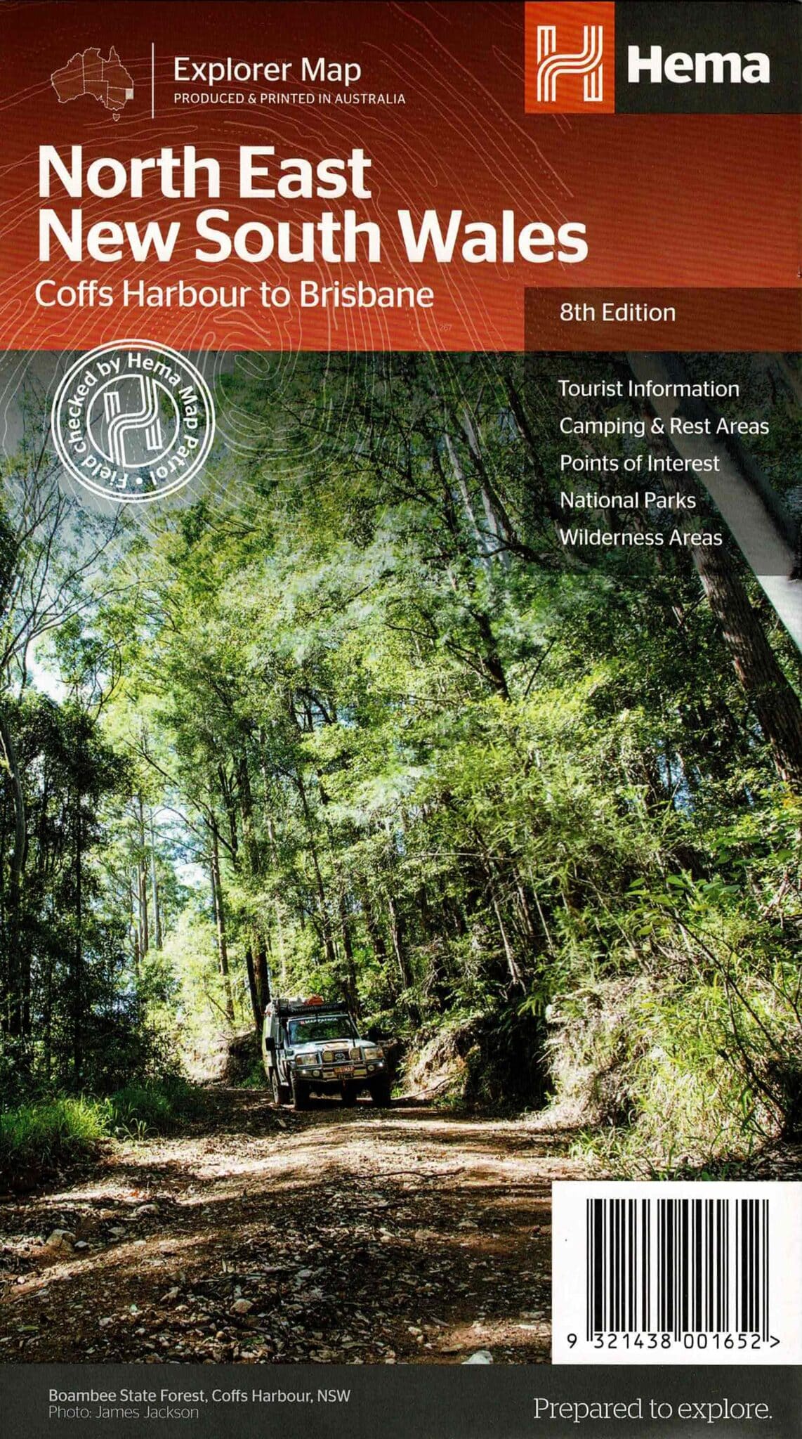
Informative text and colour photographs enable the user to research and visualise some of the best North East NSW has to offer.
National Park facilities are shown in table format and includes parks in South East Queensland.Hema regional maps have a GPS grid, road distances, camping areas, fuel availability, national parks information, long distance hiking trails and lots more.
Scale – 1:375,000
Edition: 8th
Published: 2013
Reviews
There are no reviews yet.