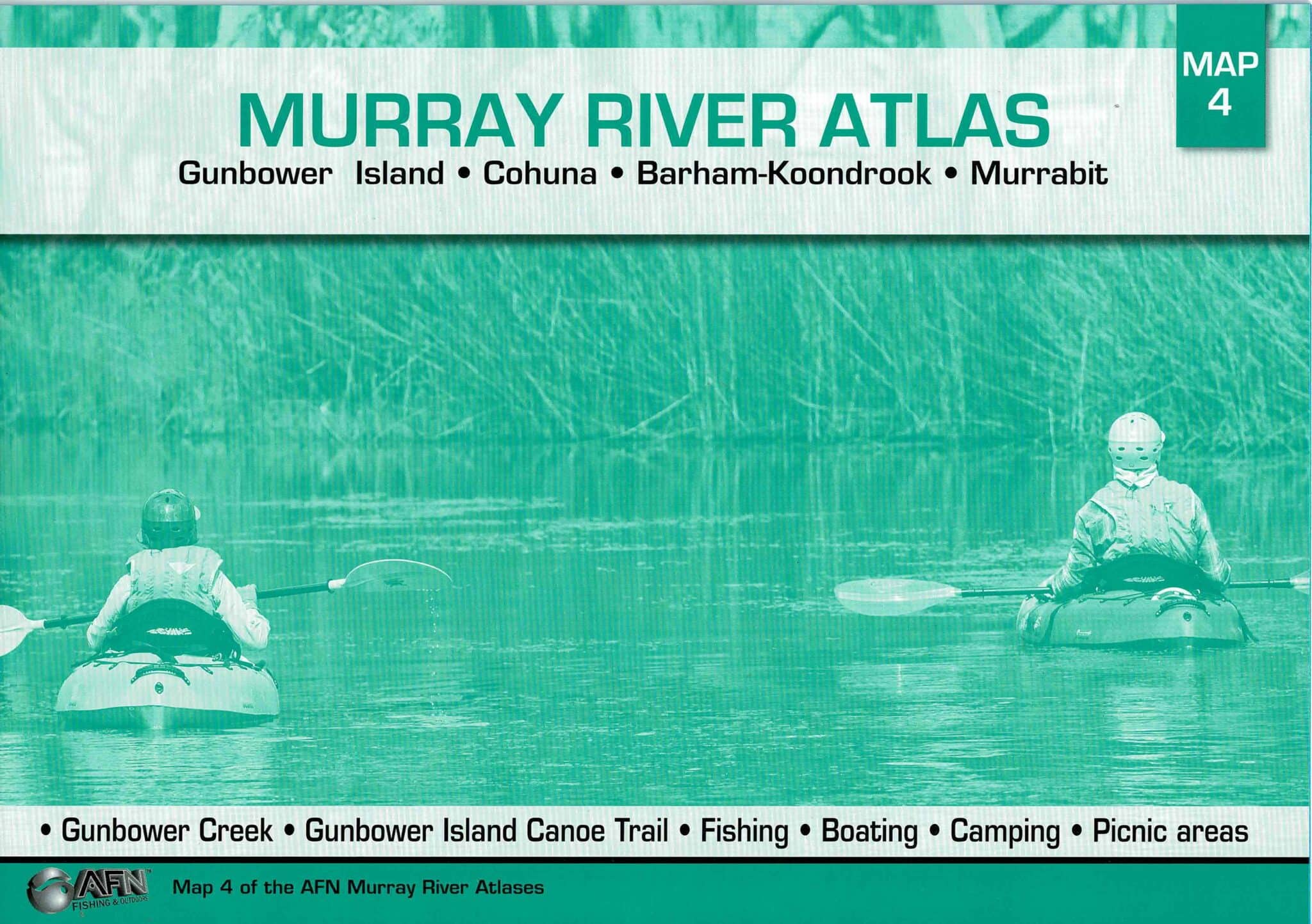
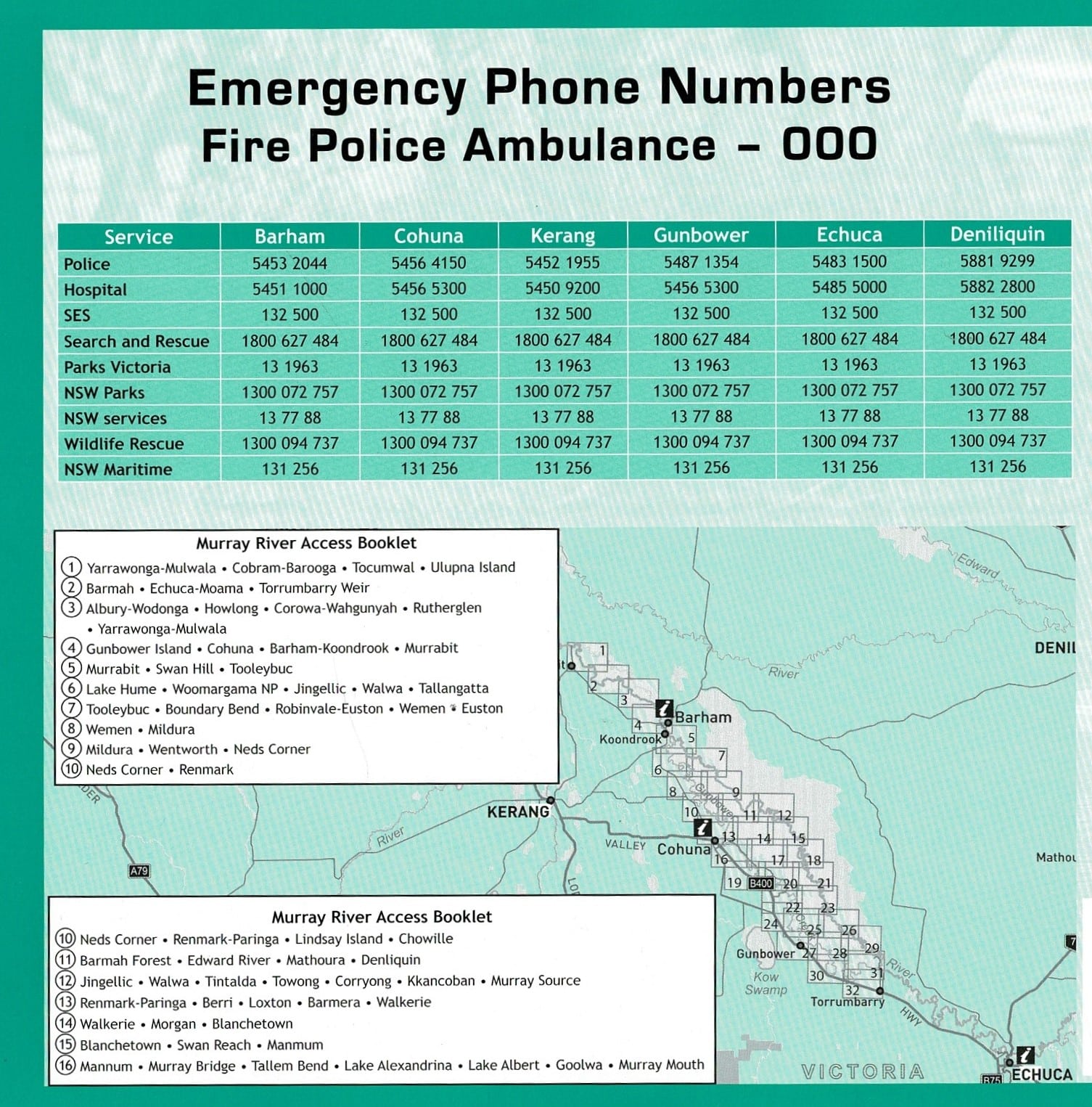


Gunbower Island * Cohuna * Barham – Koondrook * Murrabit.
Murray River Atlas AFN – Gunbower Island to Murrabit # 4. This product is now produced by AFN but remains the same format as the original Spatial Vision Series.
Featuring:
- Campbells Island,
- Benwell State Forest,
- Guttrum State Forest,
- Little Murray River,
- Gunbower Island,
- Gunbower State Forest,
- Koondrook State Forest,
- Pericoota State Forest,
- Gibbon,
- Patho,
- Welton,
- Longmore Lagoon,
- Taylor Creek.
Reviews
There are no reviews yet.