LPI NSW Topographic 1-50,000 Scale Maps
The 1:50,000 Scale topographic NSW maps cover the Central part of NSW. From North to South.
2 Centimetres = 1 Kilometre
Showing 201–213 of 213 results
- LPI NSW Topographic 1-50,000 Scale Maps
Weetaliba 8834-N NSW Topographic Map
$16.70 Inc. GSTRated 0 out of 5 - LPI NSW Topographic 1-50,000 Scale Maps
Weethalle 8230-S NSW Topographic Map
$16.70 Inc. GSTRated 0 out of 5 - LPI NSW Topographic 1-50,000 Scale Maps
Weimby 7528-N NSW Topographic Map
$16.70 Inc. GSTRated 0 out of 5 - LPI NSW Topographic 1-50,000 Scale Maps
Wellington 8632-N NSW Topographic Map – Printed
$16.70 Inc. GSTRated 0 out of 5 - LPI NSW Topographic 1-50,000 Scale Maps
Wentworth 7229-N NSW Topographic Map
$16.70 Inc. GSTRated 0 out of 5 - LPI NSW Topographic 1-50,000 Scale Maps
Wilson 8027-N NSW Topographic Map
$16.70 Inc. GSTRated 0 out of 5 - LPI NSW Topographic 1-50,000 Scale Maps
Wirrinya 8430-N NSW Topographic Map
$16.70 Inc. GSTRated 0 out of 5 - LPI NSW Topographic 1-50,000 Scale Maps
Womboin 8336-N NSW Topographic Map
$16.70 Inc. GSTRated 0 out of 5 - LPI NSW Topographic 1-50,000 Scale Maps
Wyalong 8330-S NSW Topographic Map
$16.70 Inc. GSTRated 0 out of 5 - LPI NSW Topographic 1-50,000 Scale Maps
Yalgogrin Range 8229-N NSW Topographic Map
$16.70 Inc. GSTRated 0 out of 5 - LPI NSW Topographic 1-50,000 Scale Maps
Yelarbon 9040-N NSW Topographic Map
$16.70 Inc. GSTRated 0 out of 5 - LPI NSW Topographic 1-50,000 Scale Maps
Yetman 9040-S NSW Topographic Map
$16.70 Inc. GSTRated 0 out of 5 - LPI NSW Topographic 1-50,000 Scale Maps
Young 8529-S NSW Topographic Map
$16.70 Inc. GSTRated 0 out of 5
Above is the
LPI NSW Topographic Map Catalogue – Index
New South Wales is covered by three different scales of maps:
LPI NSW Topographic 1:25,000 Map — 1km = 4cm. (Mainly Eastern NSW). LPI NSW Topographic 1:25,000 Scale Maps
LPI NSW Topographic 1-50,000 Map — 1km = 2cm. (Mainly Central NSW).
LPI NSW Topographic 1:100,000 Map — 1km = 1cm. (Mainly Western NSW). LPI NSW Topographic 1:100,000 Scale Maps
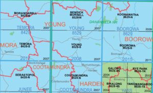
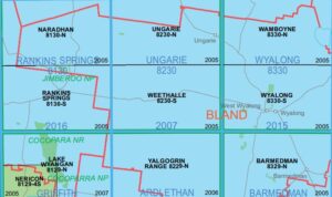
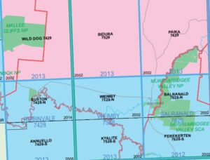
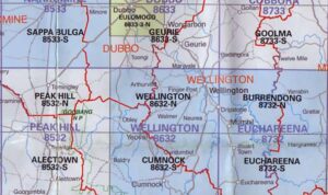
This page is dedicated to LPI NSW Topographic 1-50,000 Scale Maps
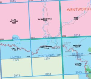
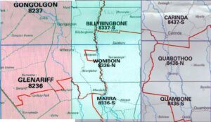
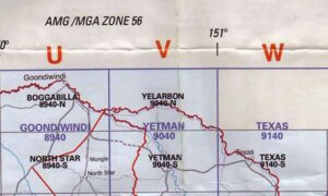
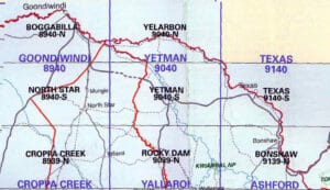
The Blue shading on the index is where you will find the 1-50,000 Scale maps. They include contours, towns, roads etc.
These maps are highly detailed and are recommended for hiking & bushwalking.
Also great to use alongside a more overall map if you are intending to go to a set destination. As it will let you target minor side roads and tracks etc.