LPI NSW Topographic 1-25,000 Scale Maps
St. Albans 9031-2N NSW Topographic Map – Printed
$16.70 Inc. GST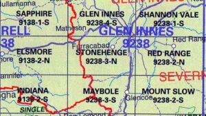
 LPI NSW Topographic 1-25,000 Scale Maps
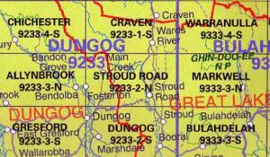
Stroud Road 9233-2-N NSW Topographic Map – Printed
$16.70 Inc. GST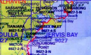 LPI NSW Topographic 1-25,000 Scale Maps
Sussex Inlet 9027-4-S NSW Topographic Map – Printed
$16.70 Inc. GST
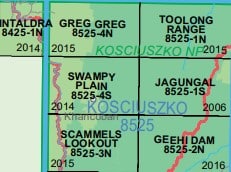 LPI NSW Topographic 1-25,000 Scale Maps
Swampy Plain 8525-4S NSW Topographic Map – Printed
$16.70 Inc. GST
 LPI NSW Topographic 1-25,000 Scale Maps
Sydney Heads 9130-2N NSW Topographic Map – Printed
$16.70 Inc. GST
 LPI NSW Topographic 1-25,000 Scale Maps
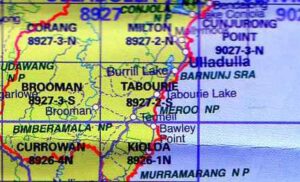
Tabourie 8927-2-S NSW Topographic Map – Printed
$16.70 Inc. GST LPI NSW Topographic 1-25,000 Scale Maps
Taemas Bridge 8627-1-N NSW Topographic Map – Printed
$16.70 Inc. GST LPI NSW Topographic 1-25,000 Scale Maps
Talbingo 8526-1N NSW Topographic Printed – Map
$16.70 Inc. GST LPI NSW Topographic 1-25,000 Scale Maps
Talooby 8932-4-N NSW Topographic Map – Printed
$16.70 Inc. GST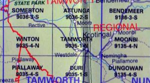 LPI NSW Topographic 1-25,000 Scale Maps
Tamworth 9035-1N NSW Topographic Map – Printed
$16.70 Inc. GST
 LPI NSW Topographic 1-25,000 Scale Maps
Tantangara 8626-3N NSW Topographic Map – Printed
$16.70 Inc. GST
 LPI NSW Topographic 1-25,000 Scale Maps
Tarana 8830-1-N NSW Topographic Map – Printed
$16.70 Inc. GST