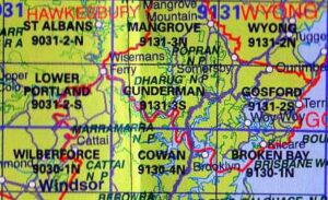

 LPI NSW Topographic 1-25,000 Scale Maps
Gunnedah 8936-2-S NSW Topographic Map – Printed
$16.70 Inc. GST
 LPI NSW Topographic 1-25,000 Scale Maps
Gurnang 8829-1-N NSW Topographic Map – Printed
$16.70 Inc. GST
 LPI NSW Topographic 1-25,000 Scale Maps
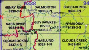
Guy Fawkes River 9338-2-S LPI NSW Topographic Map – Printed
$16.70 Inc. GST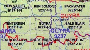 LPI NSW Topographic 1-25,000 Scale Maps
Guyra 9237-4-S LPI NSW Topographic Map – Printed
$16.70 Inc. GST
 LPI NSW Topographic 1-25,000 Scale Maps
Hallidays Point 9433-4-N NSW Topographic Map – Printed
$16.70 Inc. GST LPI NSW Topographic 1-25,000 Scale Maps
Hampton 8930-4-S NSW Topographic Map – Printed
$16.70 Inc. GST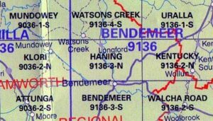 LPI NSW Topographic 1-25,000 Scale Maps
Haning 9136-3-N NSW Topographic Map – Printed
$16.70 Inc. GST
 LPI NSW Topographic 1-25,000 Scale Maps
Hartley 8930-4-N NSW Topographic Map – Printed
$16.70 Inc. GST

 LPI NSW Topographic 1-25,000 Scale Maps
Hernani 9337-2-N NSW Topographic Map – Printed
$16.70 Inc. GST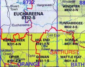 LPI NSW Topographic 1-25,000 Scale Maps
Hill End 8731-1-N NSW Topographic Map – Printed
$16.70 Inc. GST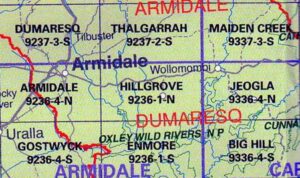 LPI NSW Topographic 1-25,000 Scale Maps
Hillgrove 9236-1-N NSW Topographic Map – Printed
$16.70 Inc. GST LPI NSW Topographic 1-25,000 Scale Maps
Hilltop 8929-2-N NSW 1:25,000 Topographic Map – Printed
$16.70 Inc. GST


