 LPI NSW Topographic 1-25,000 Scale Maps
Crookhaven NSW 9028-2-S Topographic Map – Printed
$16.70 Inc. GST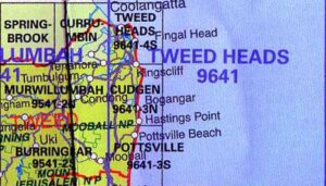 LPI NSW Topographic 1-25,000 Scale Maps
Cudgen 9641-3-N NSW Topographic Map – Printed
$16.70 Inc. GST
 LPI NSW Topographic 1-25,000 Scale Maps
Cullen Bullen 8931-3-N NSW Topographic Map – Printed
$16.70 Inc. GST LPI NSW Topographic 1-25,000 Scale Maps
Cundletown 9434-3-S NSW Topographic Map – Printed
$16.70 Inc. GST LPI NSW Topographic 1-25,000 Scale Maps
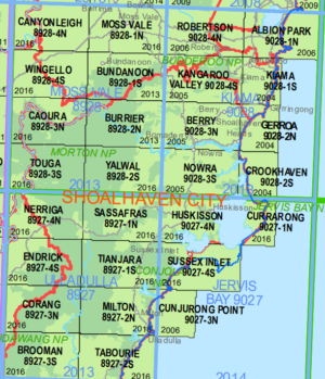
Cunjurong Point 9027-3-N NSW Topographic Map – Printed
$16.70 Inc. GST
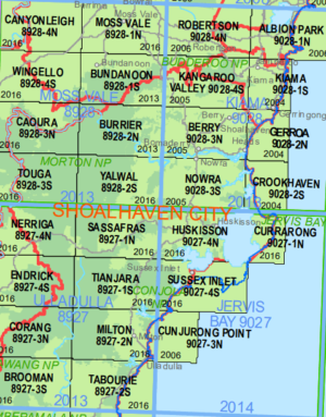
 LPI NSW Topographic 1-25,000 Scale Maps
Currarong 9027-1-N NSW Topographic Map – Printed
$16.70 Inc. GST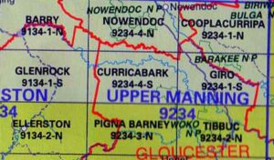 LPI NSW Topographic 1-25,000 Scale Maps
Curricabark 9234-4-S NSW Topographic Map – Printed
$16.70 Inc. GST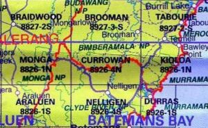 LPI NSW Topographic 1-25,000 Scale Maps
Currowan 8926-4-N NSW Topographic Map – Printed
$16.70 Inc. GST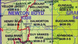 LPI NSW Topographic 1-25,000 Scale Maps
Dalmorton 9338-2-N NSW Topographic Map – Printed
$16.70 Inc. GST
 LPI NSW Topographic 1-25,000 Scale Maps
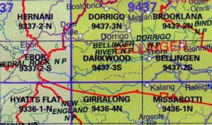
Darkwood 9437-3S NSW Topographic Map – Printed
$16.70 Inc. GST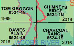 LPI NSW Topographic 1-25,000 Scale Maps
Davies Plain 8524-4-S NSW Topographic Map – Printed
$16.70 Inc. GST
 LPI NSW Topographic 1-25,000 Scale Maps
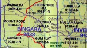
Delungra 9038-1-S NSW Topographic Map – Printed
$16.70 Inc. GST LPI NSW Topographic 1-25,000 Scale Maps
Denison 8626-3-S NSW Topographic Map – Printed
$16.70 Inc. GST

 LPI NSW Topographic 1-25,000 Scale Maps
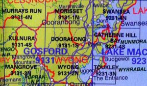
Dooralong 9131-1-S NSW Topographic Map – Printed
$16.70 Inc. GST


